We think
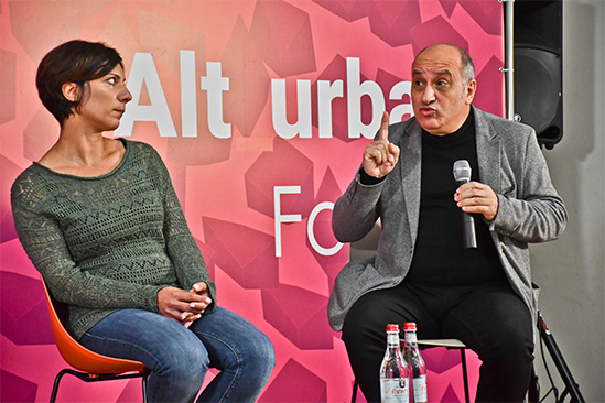
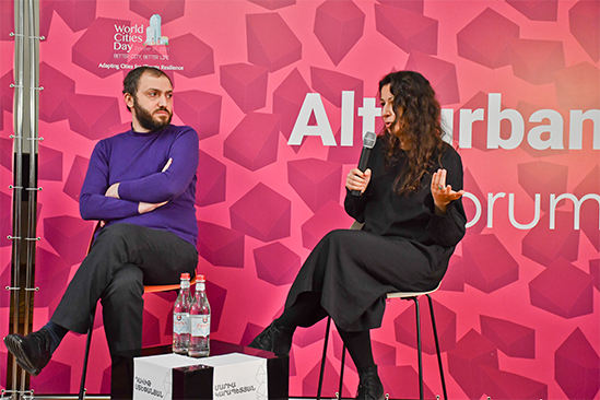
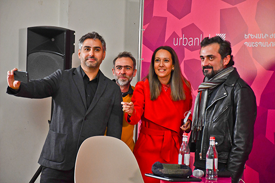
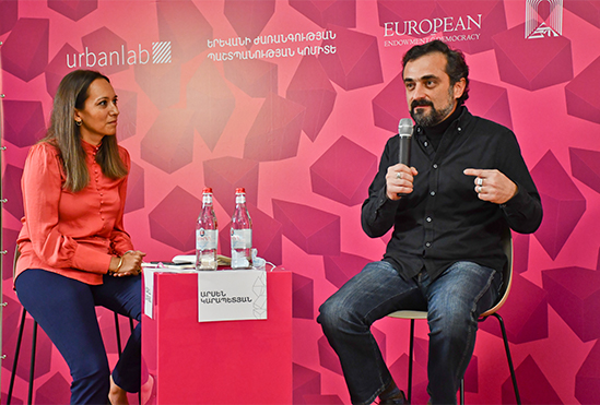
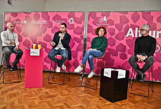
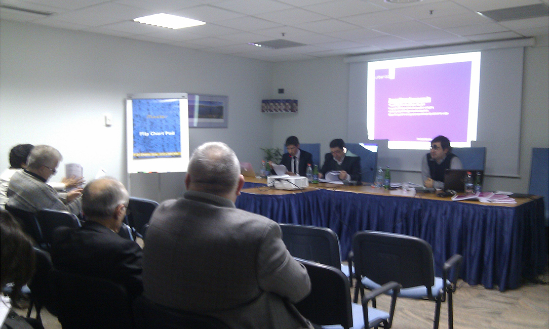
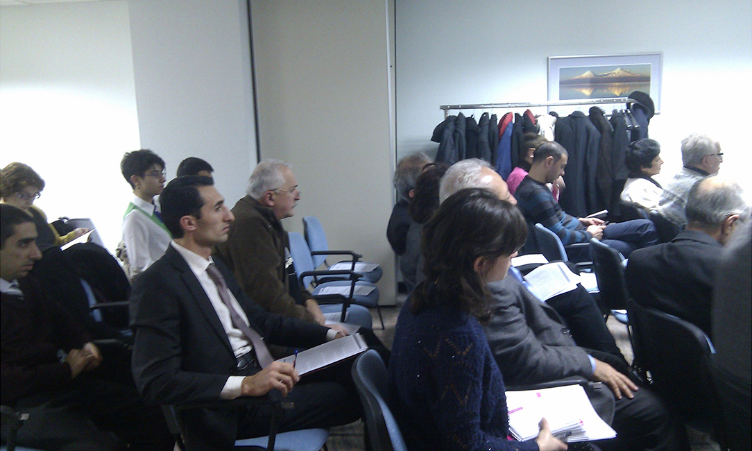
urbanlab jointly with the Committee for the Protection of Yerevan’s Heritage had organized a one-day forum on urban planning and heritage preservation, which aims to bring together urban professionals and influential people around one "table". Within the framework of the forum, public perceptions in the field of urban development were revealed, innovative and sustainable solutions aimed at their solution were proposed, urban disciplines, in particular, urban planning and heritage preservation was reevaluated. The forum was be held in panel discussions formats:
Forum is available at the following link.
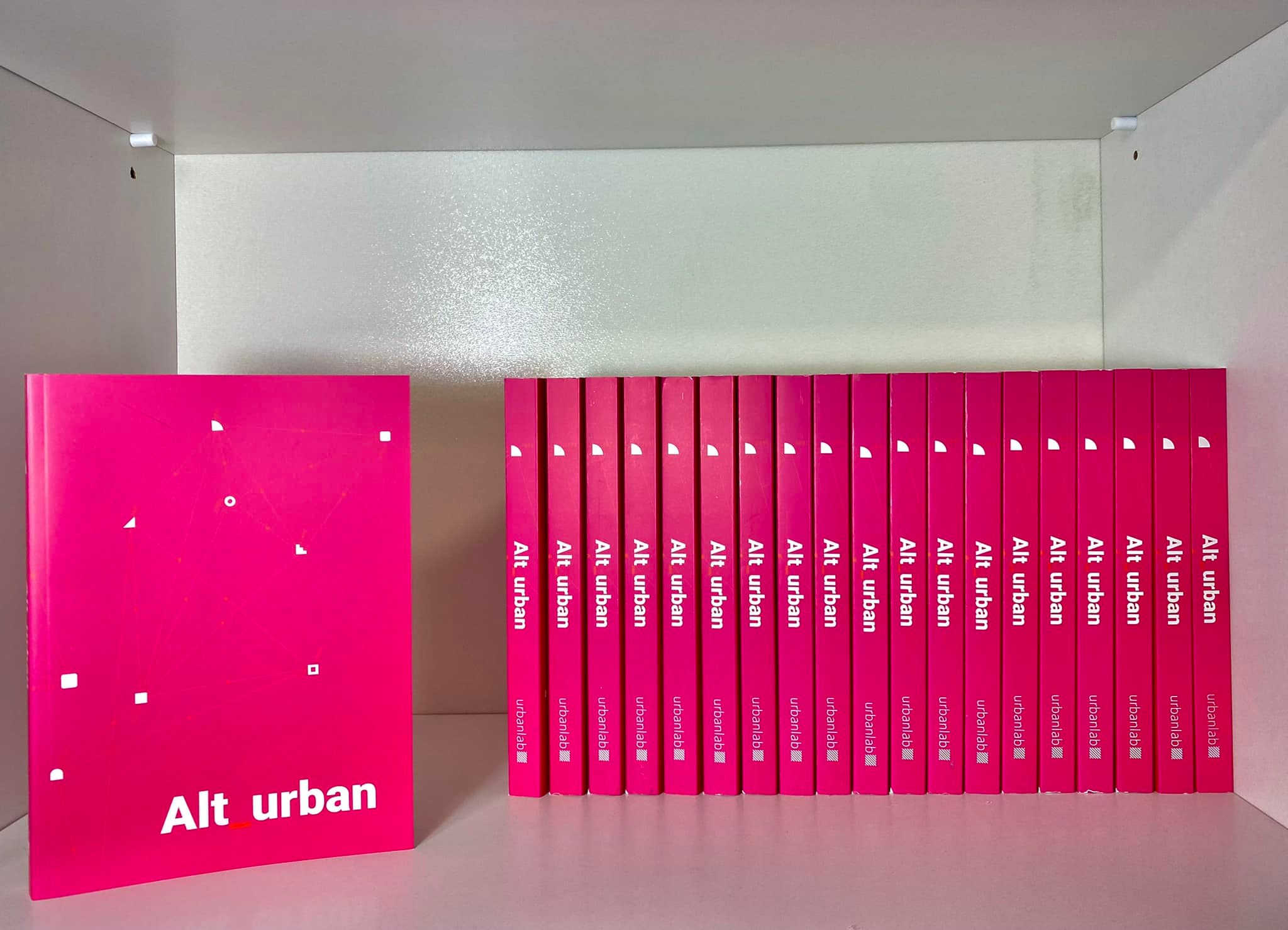
The authors of the papers included in the urban research publication explore the problems of the urban planning, as well as the preservation of urban heritage, and some practical recommendations. The papers won the competition held in 2021 within the framework of the Alt_EVN project, initiated and organized by the urbanlab and Yerevan Heritage Protection Committee.
Publication of this collection was made possible with support of the European Endowment for Democracy-EED in collaboration with the urbanlab and Yerevan Heritage Protection Committee.
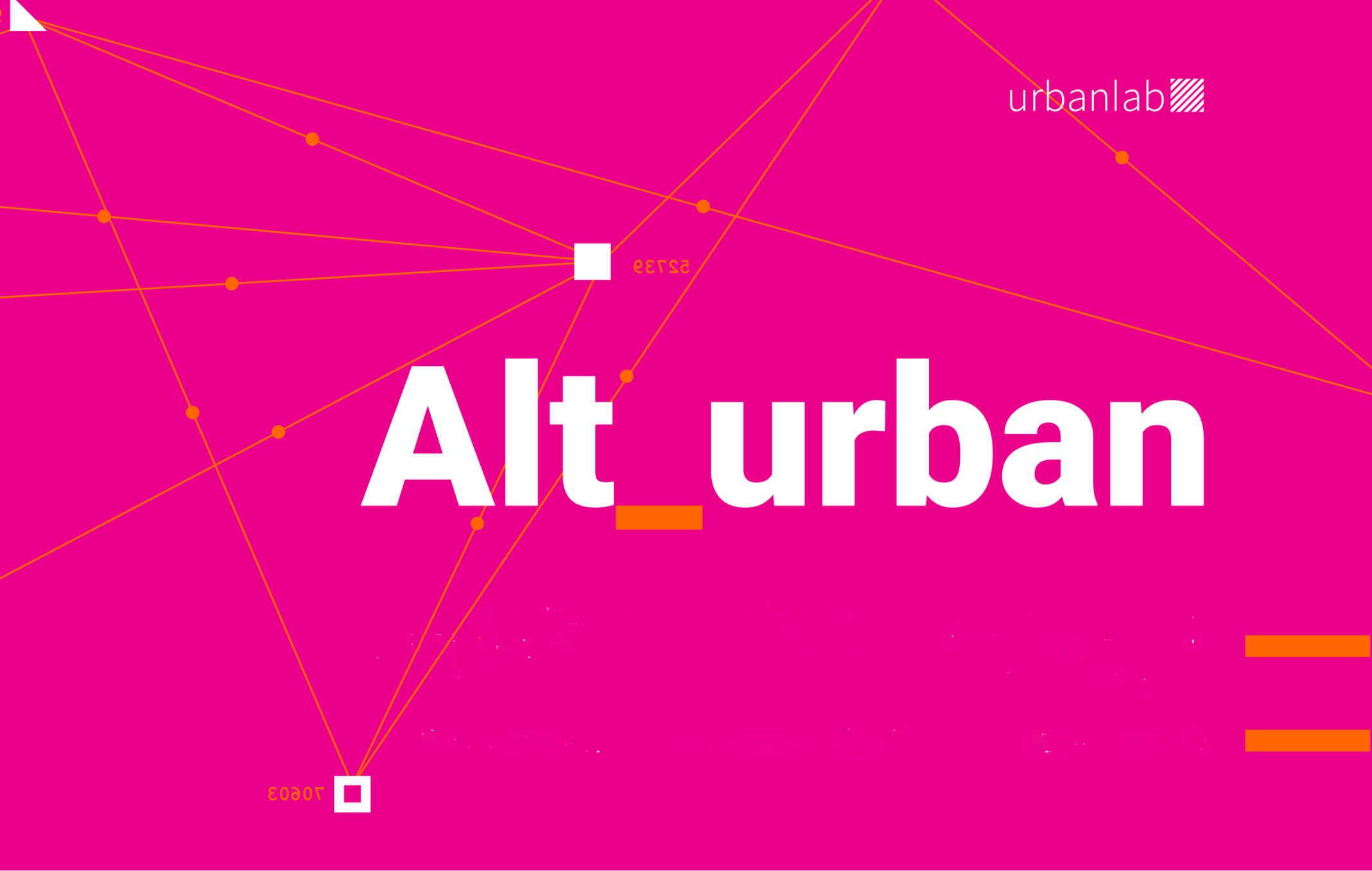
Alt_urban publications is available on the net.
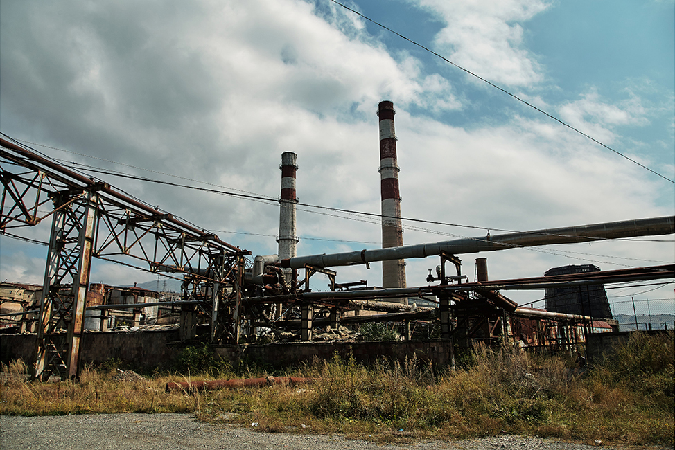
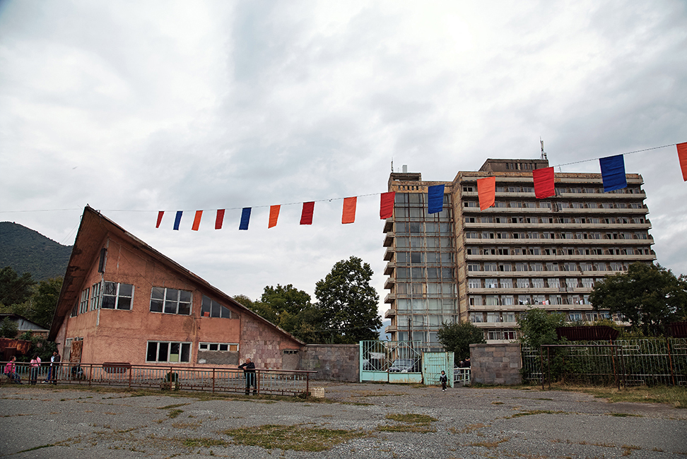
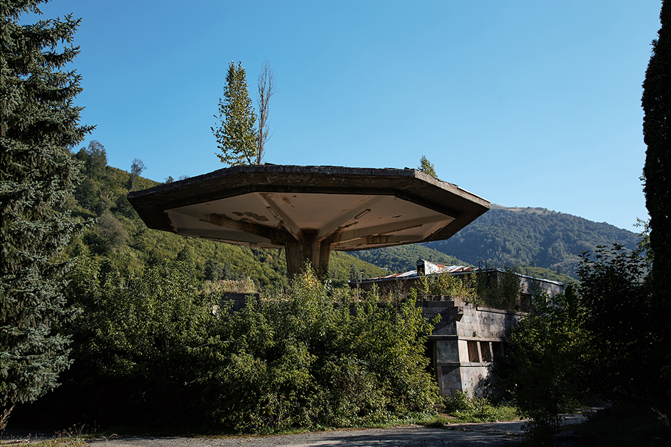
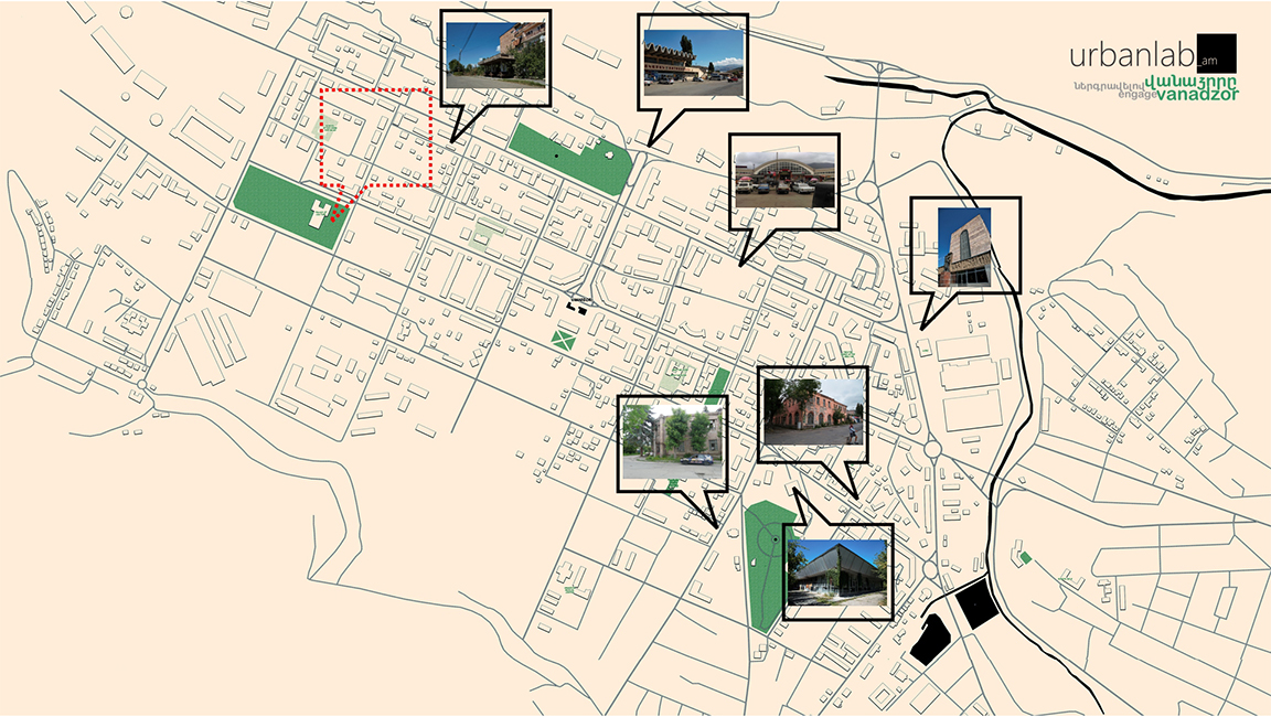
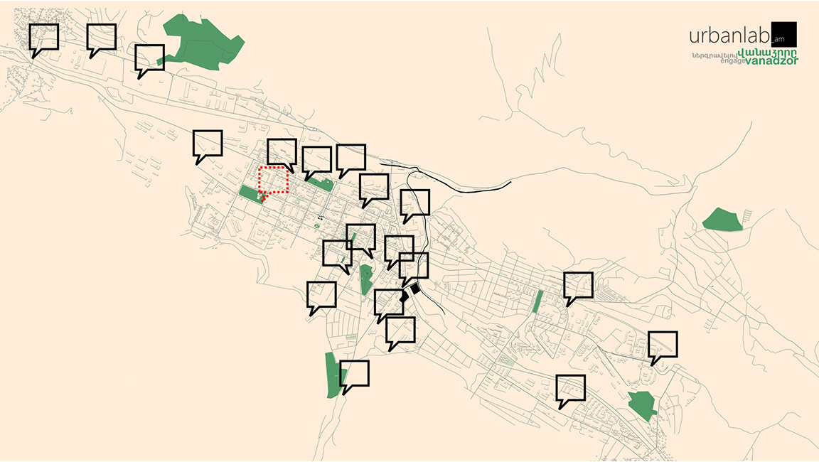
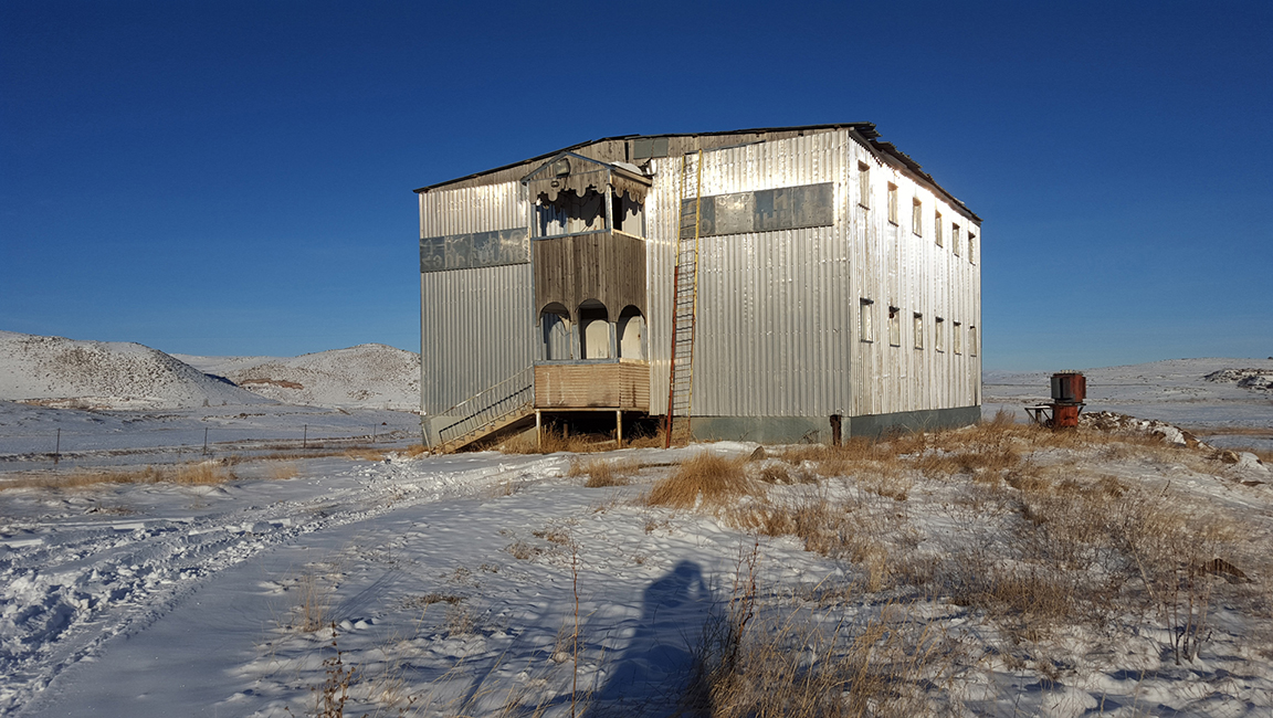
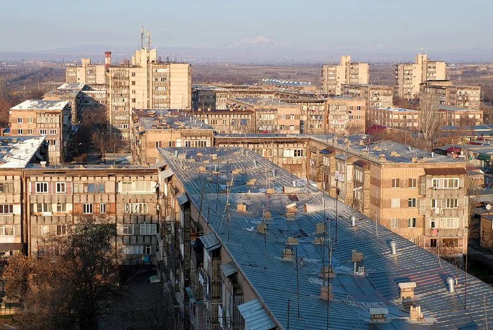
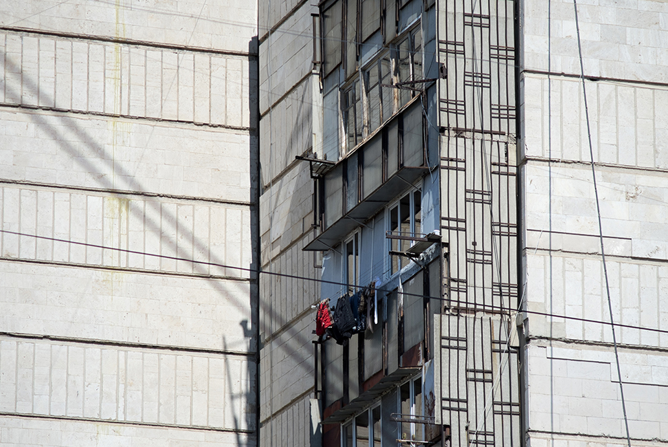
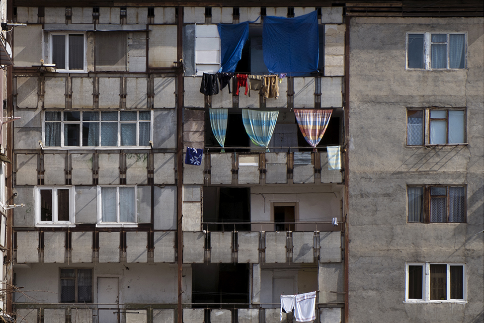
urbanlab, with the support of European Association for Local Democracy (ALDA) initiated Engage Vanadzor, a program aimed to promote reevaluation of Armenia’s 3rd largest city, Vanadzor’s modern tangible and intangible heritage and to advocate its preservation through community engagement. Being an important and inseparable part of Vanadzor’s cityscape, industrial and modernist architecture and urban design elements were mapped and rediscovered, so was one of the city’s most interesting aspects of urban life: rock music. Considering protection of heritage not only an issue for the professionals, urbanlab team attempted to combine efforts of both the local community and of the professionals and to voice ideas of joint efforts for reevaluation and protection in a more accessible manner. See Engage Vanadzor map here.
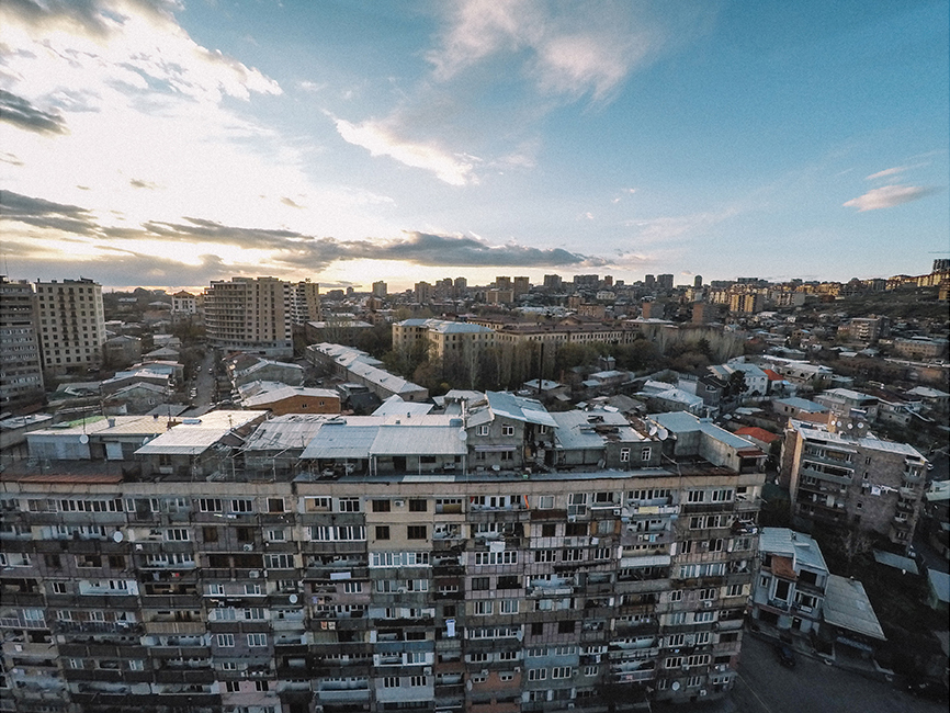
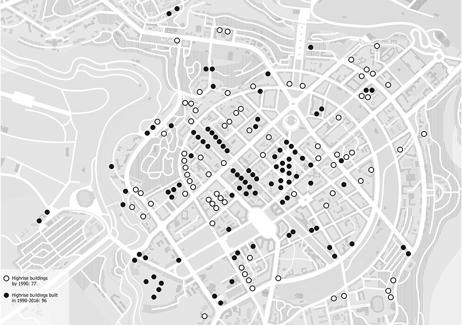
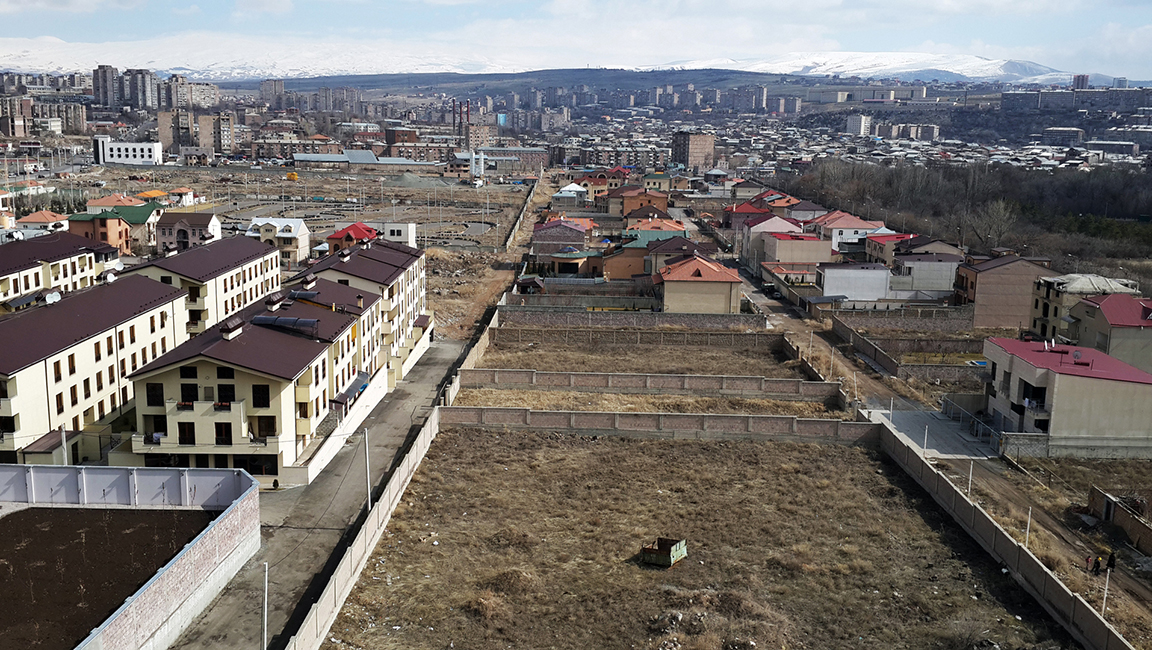
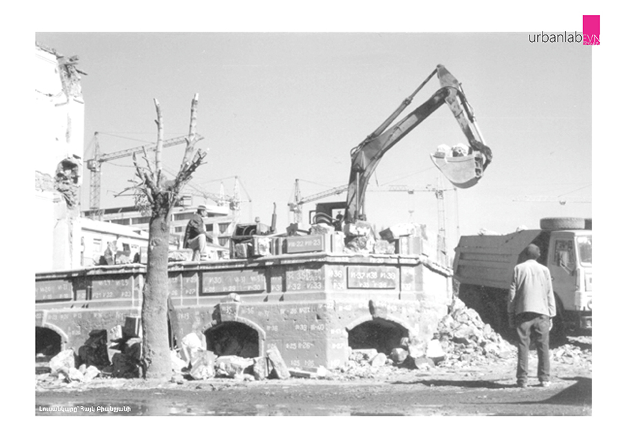
Like most of the world cities, Yerevan’s landscape has changed dramatically over the past 25 years, particularly as a result of post-Soviet Armenia’s sociopolitical shifts. Although these urban transformations have been and continue to be widely discussed in the local media, there is insufficient research and writing on this process and its circumstances. During 2016 there were several opportunities for urbanlab team to present the results of mappings of these transformations from 1991 to 2016, with a specific focus on urban planning and policy aspects. For the publication follow the link.
The Pavilion of the Republic of Armenia titled “Independent Landscape” at the 15th International Architecture Exhibition-La Biennale di Venezia announced the launch of a unique landscape mapping laboratory of independent Armenia, focusing on the study and reinterpretation of spatial transformations and its variations from 1991 to present․ The project management and implementation was conducted from 2015-2016. For full coverage visit the Independent Landscape website.
The following article was presented at Radical Space in Between Disciplines Conference of University of Novi Sad (Serbia) on September 2015 by Sarhat Petrosyan and Nora Topalian.
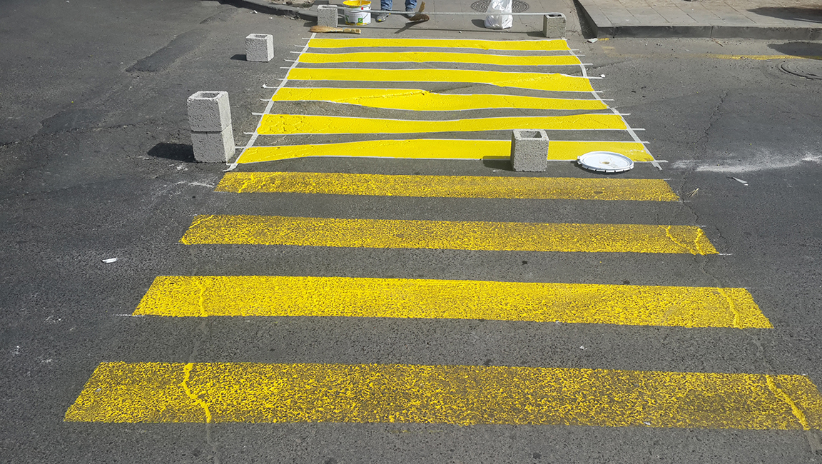
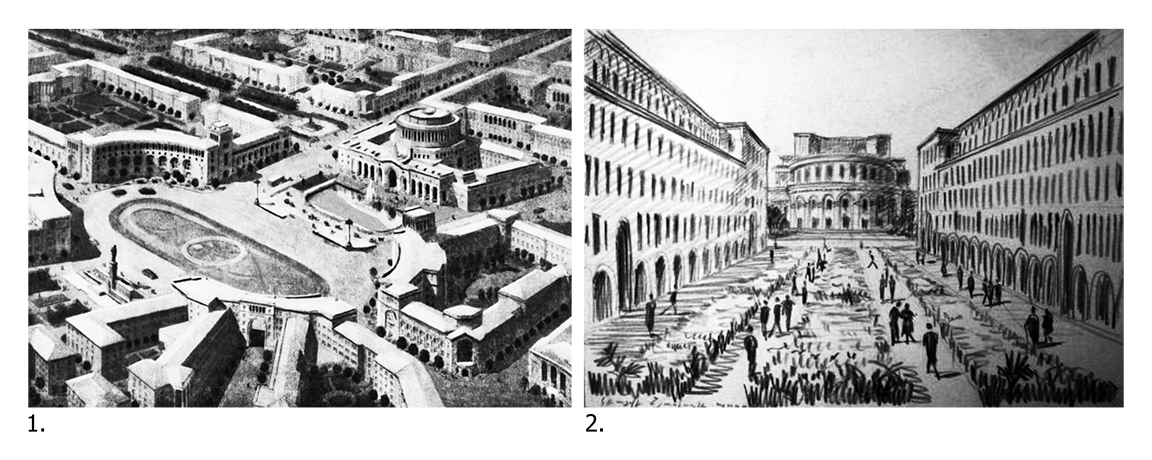
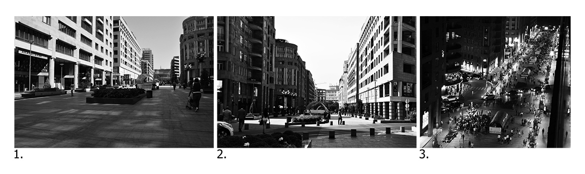
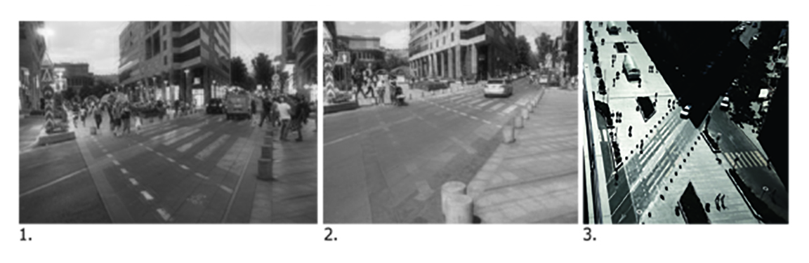
Northern Avenue, the main pedestrian connection and axis in Yerevan, capital of Armenia, already has over 80 years’ worth of narratives imbued upon it. Bearing the name of Araratian Street when it was first proposed by master plan of Architect Alexander Tamanian in 1924, it fits into the Soviet ideology of a socialist plan presented in the shape of a Garden City. It was proposed to link the main administrative Republic Square (Lenin square at that time) to the cultural Freedom Square where National Opera was under construction. The street was named after Mount Ararat, an important biblical symbol for the Armenian people, towards which the city and the axis were oriented. The initial idea was to build a residential neighborhood but it was not realized at that time. Read full article here.
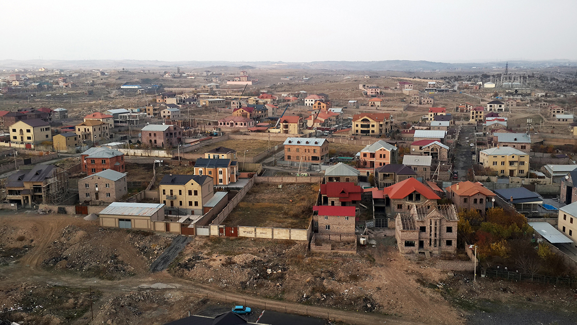
Metsamor is a “new” town located in Armavir marz (region), 45 km west of the capital city Yerevan. The town, built for workers of the Metsamor Nuclear Power Plant and is notable for the fact that the same studio designed both the master plan and most of the structures built there, including residential, public and commercial typologies. The goal of the project is to establish a collaborative research by planners and visual artists on urban “history” of singular example of Soviet modernism - Metsamor town and Nuclear Power Plant located in the area (both built in 1970’s) and also post-Soviet development of the urban environment, with a special focus on social obstacles caused by environmental fears and challenges.
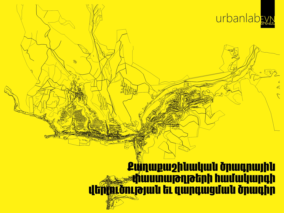
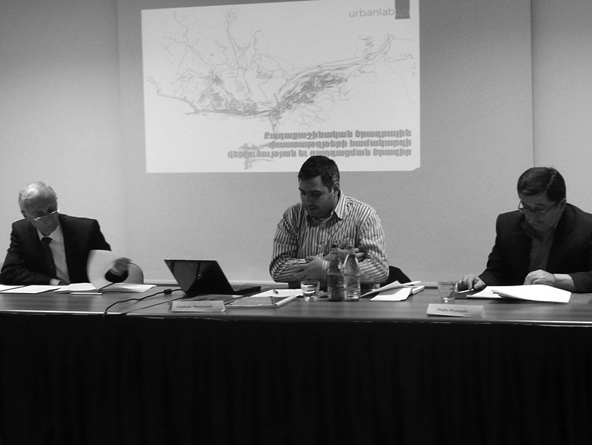
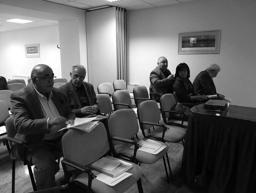
The aim of the Project on Analysis and Development of the Urban Planning Documentation System is to research, analyze and develop suggestions on the legislation of the Urban Planning System of the Republic of Armenia. The results were presented in a report which includes proposal for the changes in legislation, regulations and procedures. It has been presented to field professionals and other stakeholders.
Project management and implementation on our behalf, was carried out bakc in 2013, with the support of Counterpart International Armenia. Read short summary of the report here.
The aim of the project is to research, analyze and develop suggestions on the legislation of the Historical and Cultural (immobile) Monuments in the Republic of Armenia. The results were presented in a report which includs proposal for the changes in legislation, regulations and procedures. The latter was presented to the field professionals and other stakeholders.
The project management and implementation was conducted by our team back in 2012, at the support of Counterpart International Armenia. Read English summary here.
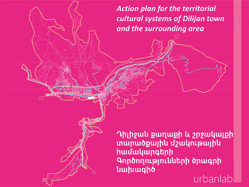
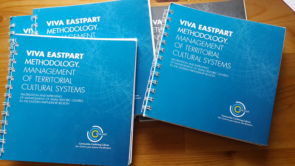
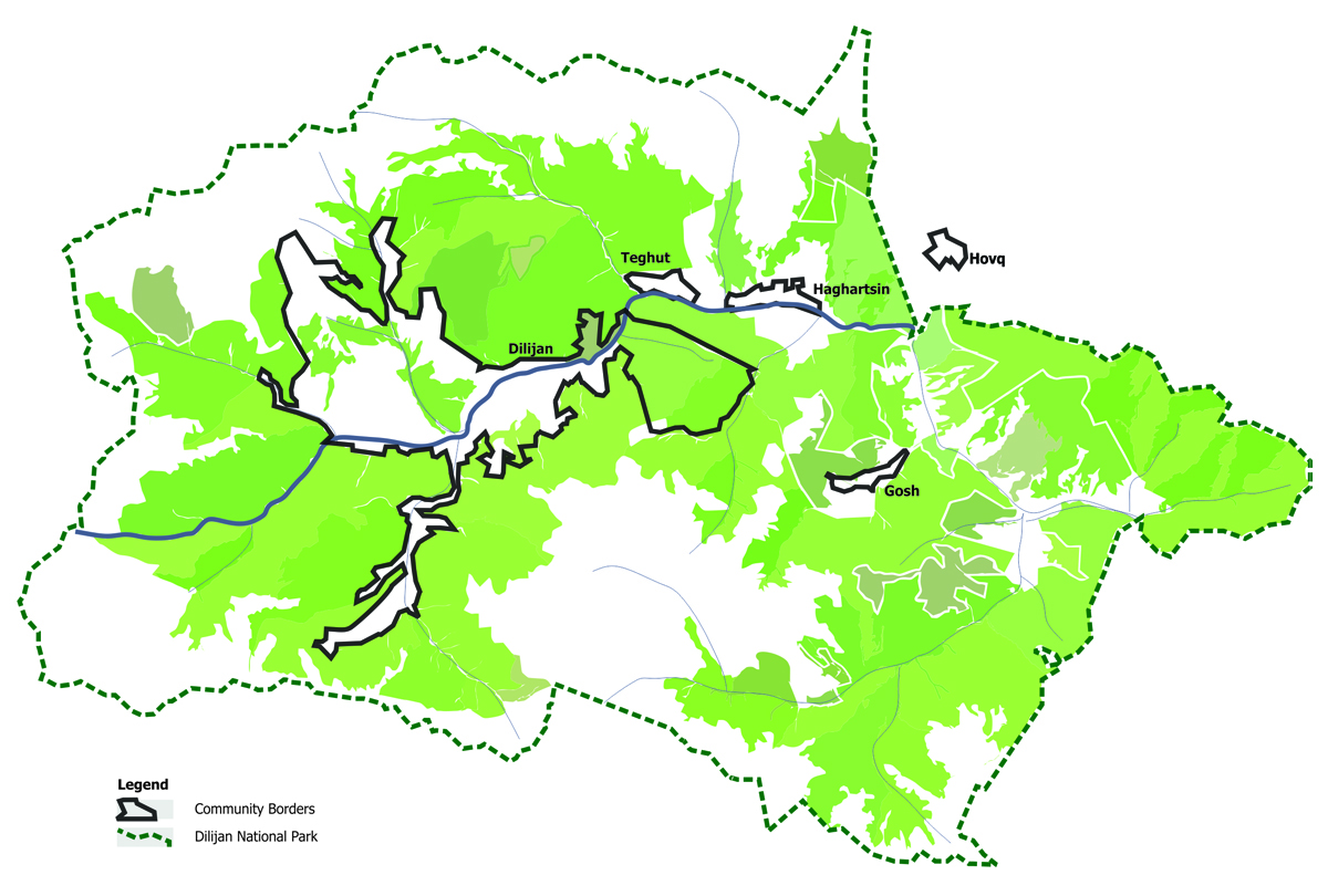
VIVA EASTPART, a project on Valorization and Improving of Management of Small Historic Centers in the Eastern Partnership region, is funded by the European Union in the framework of EuroEastCultue. The project was managed by the Urban Transition Association – ATU (Romania) with the scientific support of Bari University (Italy). Dilijan town and surrounding villages (Teghut, Gosh, Hovk, Haghartsin) were selected communities for the project which was implemented by the Armenian Ecotourism Association in the area. A board member of urbanlab was presented at the Scientific Committee where series of documents were developed.
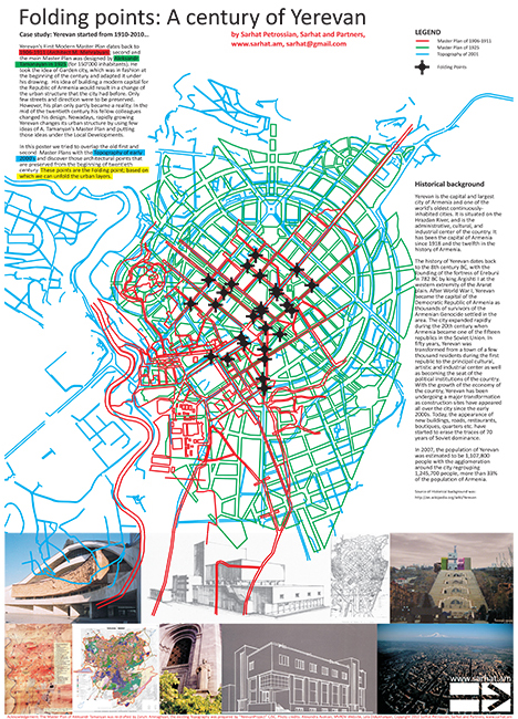
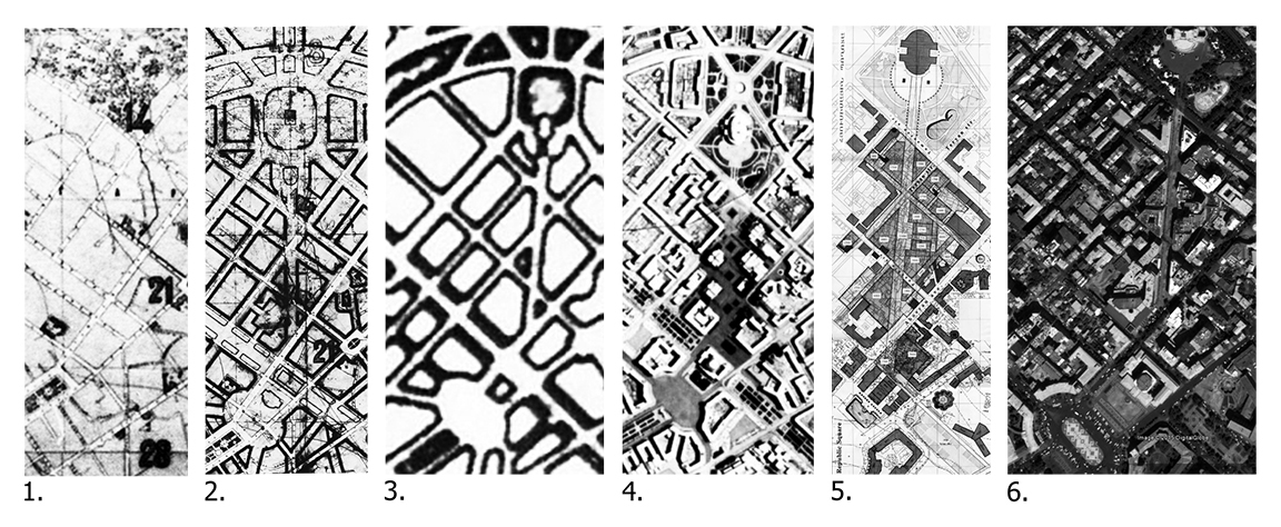
Yerevan's First Modern Master Plan dates back to 1906-1911 (Architect M. Mehrabyan); second and the main Master Plan was designed by Aleksandr Tamanayan in 1925 (for 150'000 inhabitants). He took the idea of Garden city, which was in fashion at the beginning of the century and adapted it under his drawing. His idea of building a modern capital for the Republic of Armenia would result in a change of the urban structure that the city had before. Only few streets and directions were to be preserved. However, his plan only partly became a reality. In the mid of the twentieth century his fellow colleagues changed his design. Nowadays, rapidly growing Yerevan changes its urban structure by using few ideas of A. Tamanyan's Master Plan and putting those ideas under the Local Developments. Our team made a conceptual proposal back in 2010. In this poster we tried to overlap the old first and second Master Plans with the Topography of early 2000's and discover those architectural points that are preserved from the beginning of twentieth century. These points are the Folding points based on which we can unfold the urban layers. More information available here.